معلومات عنا


Full description not available
A**R
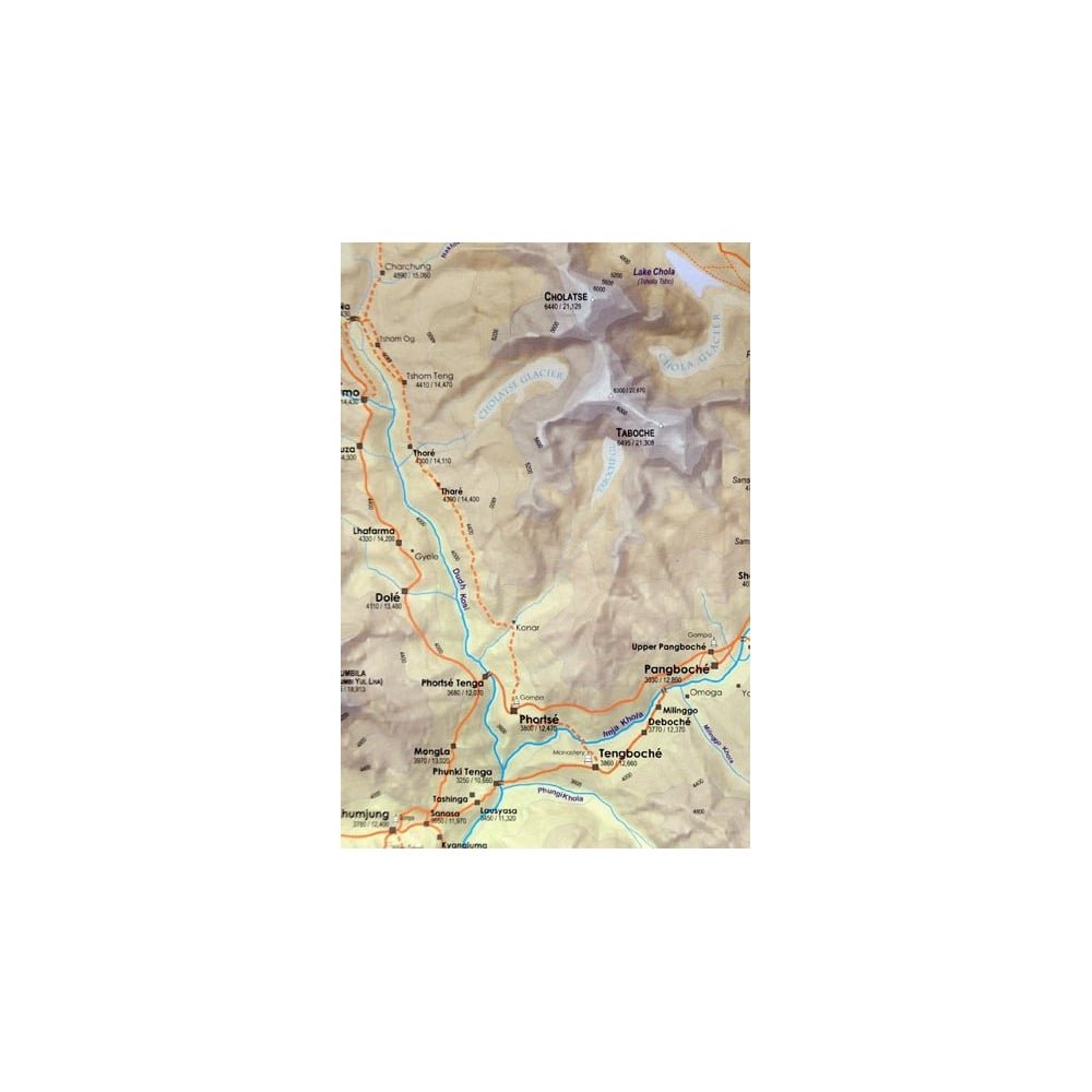
Great Map, Easy to read and follow routes
Great Map, Easy to read and follow routes. Too bad distances on main treks aren't given.Much easier to follow than the French map.
B**L
perfect choice for trekking (hiking with homestays)
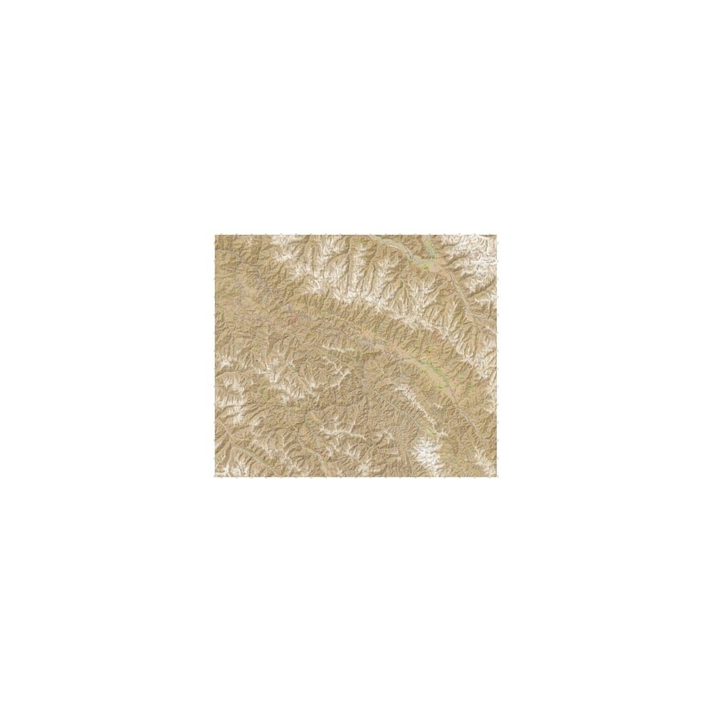
Very good scale for trekking. Accurate info. Only downside is that the glossy paper weakens pretty fast through normal folding and unfolding. Other trekkers and hoteliers were definitely envious of the map I was carrying. Even locals who use memory and visual cues more than maps were using it to learn things.Keep in mind that the regions you are trekking in have a lot of livestock trails, alternate routes and random cairns set up in misleading locations. Therefore, just because you have a good map doesn't mean you can just follow a trail like you would in a US National Park. Thoughtful route-planning, route-finding and frequent local inquiry and confirmation remain absolutely essential.Other notes not about the map, but relevant to someone buying this map: just about every other doorway (ok I exaggerate a little, every third doorway) in Leh is a guide service. I used Yamatreks to arrange logistics. They are very responsible. Don't just disappear into the mountains without scheduled dropoff and pickup. Know the distance between settlements and especially the heights of intervening passes. Carry lots of water and a water filter. If you can't do at least some cross-country hiking in a US Park or Wilderness area you don't have business going out onto even the popular Himalayan routes without a guide. This is without any doubt trickier territory, if only due to the sheer elevation, but also due to trail quality, signage, rockfall (especially during/after rainfall) and unusual stream/river crossings.
ترست بايلوت
منذ أسبوع
منذ 5 أيام